Dimensionally-accurate twin
A LiDAR-measured 3D twin of the site, accessible any time from anywhere.
Matterport Pro3 digital twins for construction and commercial projects - progress tracking, as-built records and remote inspections your whole team can rely on.
A construction site changes week to week. We scan it at the milestones you pick - before, during and after - and each scan stays a complete, walkable 3D twin of the site on that day. When a question comes up later, just open the right phase and look. For automated phase-by-phase comparison, see Stages by Matterport.
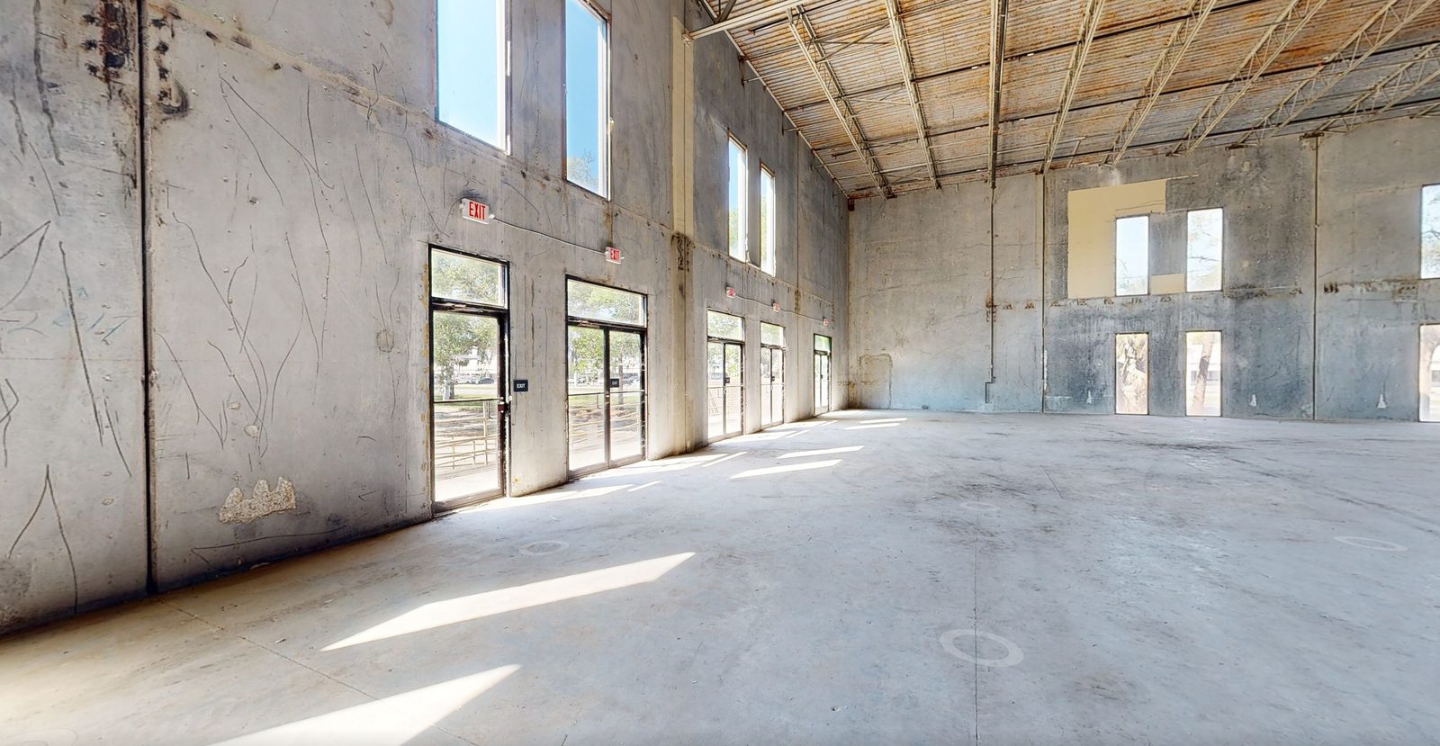
A walkable baseline of existing conditions - validate scope and give every off-site stakeholder a way to see the site as it was.
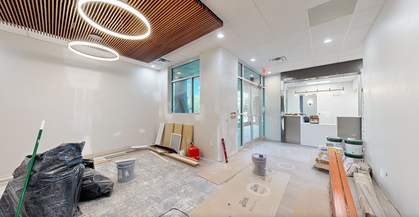
Structural, electrical and plumbing runs documented while they're still visible - a permanent record of everything that gets covered later.
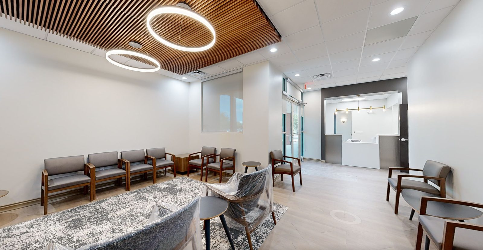
The finished space for facilities, marketing and before-and-after comparison with the earlier phases.
Built for contractors, developers, insurers and investors - one digital twin that works for every one of them.
A LiDAR-measured 3D twin of the site, accessible any time from anywhere.
Walkthroughs at each milestone - see exactly what changed, and when.
A permanent record of what's behind the walls before they close.
Let off-site stakeholders inspect the site without ever travelling.
Verifiable, time-stamped documentation for claims, lending and updates.
Schematic floor plans, on-demand measurements and exports for your design software.
Architects, contractors and owners each get what they need from the same walkable twin, at every stage of the project.
Outcomes reported by Matterport across its customers (matterport.com).
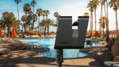
A LiDAR scanner accurate to the inch, indoors and out - in full sun or a half-built shell. When a site is sensitive, the work is handled accordingly.
Same transparent pricing as everything we do: $75 base plus 4-6 cents per square foot by layout complexity. A 10,000 sq ft open warehouse shell is about $475 per scan. The calculator on this page gives you your exact number in 30 seconds. The full pricing model, explained.
Most projects scan at three milestones: before work starts (existing conditions), before the walls close (utilities still visible) and at completion (the as-built record). Each scan is a separate, complete 3D twin of that day - you can add weekly or monthly progress scans on bigger builds. Why scanning before the walls close pays off - with a real 9,600 sq ft example.
Yes. We schedule around your crews and site rules. A typical space takes two to five hours on site; larger sites are planned per phase. We are background-checked and regularly work under NDA on secure commercial sites.
Yes. Measure anything directly in the tour - LiDAR data is accurate to about 1% - and order schematic floor plans or point cloud (E57) exports for your CAD and design software.
Only who you choose. Construction twins are private by default - shared by link or user permission, never published. Hosting on Matterport's servers is $50 per year per model, easy to embed in your project tools or share with stakeholders.
Yes. The Matterport Pro3 uses LiDAR, so it scans outdoors even in full Florida sun - laydown yards, facades and grounds connect with the interior in one continuous scan.
Tell us about the project, timeline and how many milestones you want captured.